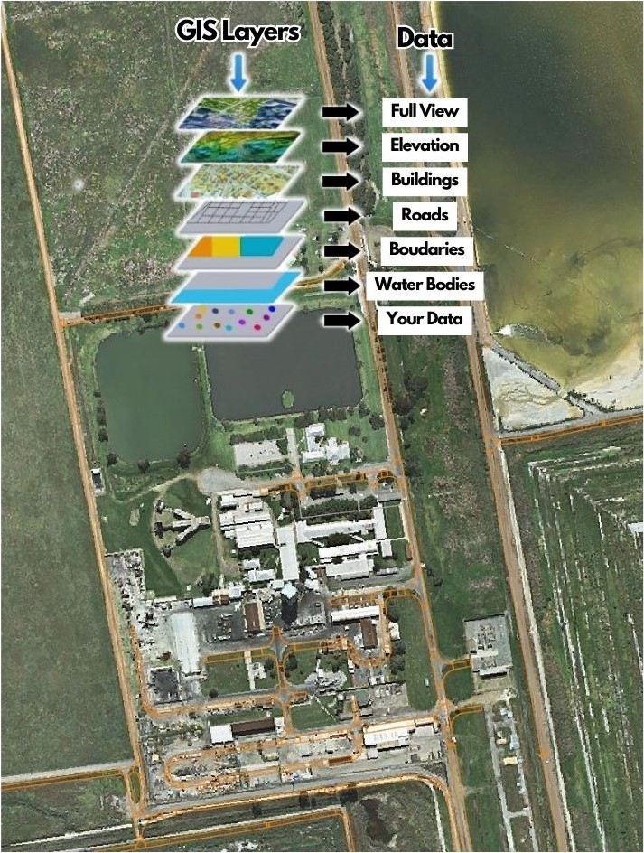
A geographic information system (GIS), or geographical information system, is any system that captures, stores, analyses, manages, and presents data that are linked to location.
GIS is a special-purpose digital database in which a common spatial coordinate system is the primary means of reference. Comprehensive GIS require a means of:
Data input, from maps, aerial photos, satellites, surveys, and other sources
Data storage, retrieval, and query
Data transformation, analysis, and modelling, including spatial statistics
Data reporting, such as maps, reports, and plans
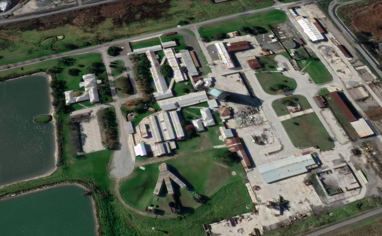
LBE recognized the opportunity to apply this technology to initiate and develop a Bentley Map Software tool that can assist in the facilities management of complex infrastructure and technologically advanced environment such as petro-chemical and process plants.
Expertise and experience:
Utilise Bentley Map together with Microsoft Access and SQL Server
Access GIS with web browser tool
Redraw input from existing drawings to CAD and link to GIS
Convert data between different Geodetic and Local Coordinate systems, ie WGS 84 Ellipsoid (Hartbeeshoek Datum), Clarke 1880 ellipsoid (Cape Datum) and local Cartesian coordinates.
Develop, administer and maintain the GIS data base
Link existing and new electronic data to GIS
Populate existing databases to the GIS and create linked objects to location
Typical Applications:
Locating underground services, ie piping and electrical cables
Map maintenance history of underground pipe lines and update with new data
Utilise GIS to obtain building information for emergency response purposes
Indicate legal responsible boundaries in terms of OHS Act appointments
Linking infrastructure (ie buildings, roads and structures) at its as-built location to data tables or 3D Models